What Are Leica BLK360 Measured Surveys?
Leica BLK360 Measured Surveys are transforming the way existing buildings and sites are documented. Using advanced laser scanning technology, the Leica BLK360 captures millions of accurate measurement points and high-resolution panoramic images within seconds, creating a comprehensive digital representation of a property.
At TAOB, we use Leica BLK360 technology to provide highly accurate measured surveys that support architects, developers, property owners, and design teams throughout every stage of a project.
Traditional survey methods often rely on manual measurements, sketches, and photographs. While effective, these approaches can require more time on site and may limit the amount of information captured. Reality capture technology offers a faster and more detailed solution.
Why TAOB Uses the Leica BLK360
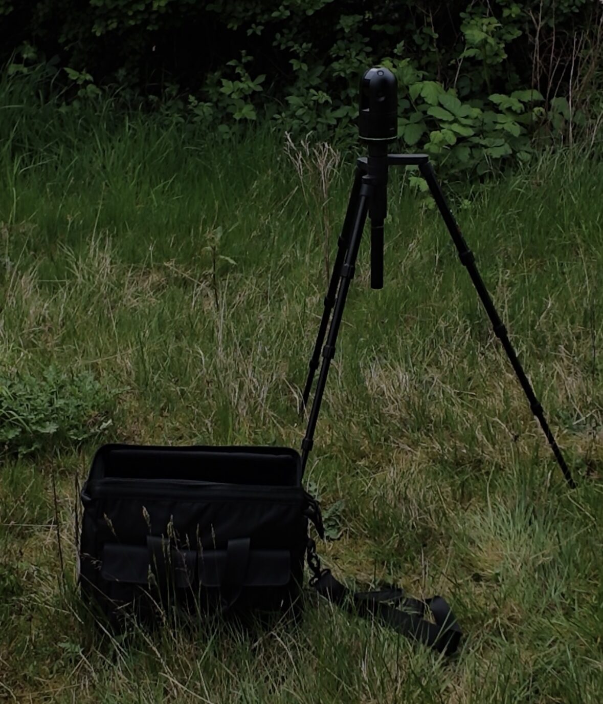
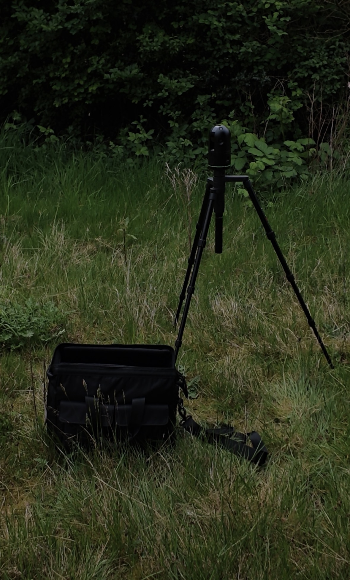
The Leica BLK360 is one of the most advanced and portable reality capture devices available today.
Its compact design allows our surveyors to work efficiently across a wide range of environments, from residential properties and commercial buildings to complex refurbishment projects.
By incorporating Leica BLK360 Measured Surveys into our workflow, we can:
Capture detailed 3D point clouds
Record accurate measurements quickly
Reduce site visit durations
Improve data quality
Deliver information faster to project teams
This technology allows us to gather more information during a single visit, reducing the need for repeat surveys and helping projects move forward with confidence.
Key Benefits of Leica BLK360 Measured Surveys
FASTER SITE DATA COLLECTION
One of the biggest advantages of Leica BLK360 Measured Surveys is speed. Millions of measurement points can be collected in minutes, significantly reducing the time required on site.
This efficiency is particularly beneficial for occupied buildings, active construction sites, and projects operating within tight timescales.
EXCEPTIONAL ACCURACY
Accurate survey data forms the foundation of successful design and construction projects.
The Leica BLK360 captures highly detailed information, helping reduce the risk of design errors, dimensional discrepancies, and costly revisions later in the project lifecycle.
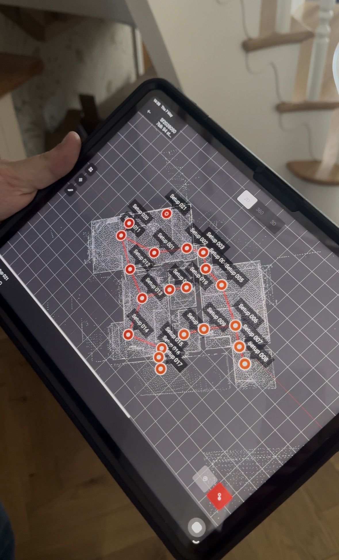
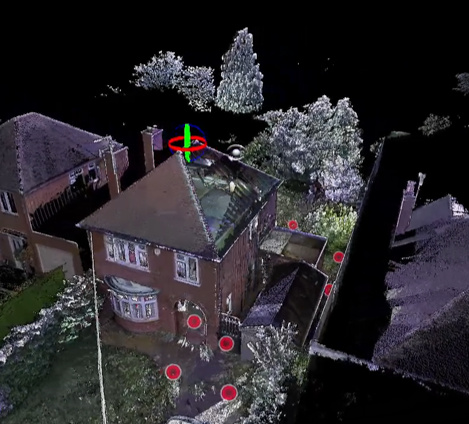
DETAILED 3D POINT CLOUD DATA
The scanner creates a detailed point cloud that accurately represents existing conditions.
Design teams can use this information to develop precise CAD drawings and BIM models, supporting informed decision-making throughout the project.
HIGH RESOLUTION SPHERICAL IMAGERY
Alongside measurement data, the Leica BLK360 captures immersive 360-degree imagery.
This visual record provides valuable context for architects, engineers, and contractors who may not be able to visit the site regularly.
IMPROVED COLLABORATION
Having access to accurate digital survey information allows project stakeholders to collaborate more effectively.
Teams can review survey data remotely, identify potential challenges earlier, and make informed decisions based on reliable information.
Applications of Leica BLK360 Measured Surveys
EXISTING BUILDING SURVEYS
Detailed surveys of existing buildings provide the foundation for renovation, extension, and redevelopment projects.
The Leica BLK360 enables comprehensive documentation of existing conditions with minimal disruption.
REFURBISHMENT PROJECTS
Refurbishment projects often involve working within complex existing structures.
Accurate survey data reduces uncertainty and allows designers to develop solutions that fit precisely within the existing building fabric.
ARCHITECTURAL DOCUMENTATION
Architects require reliable information to produce accurate designs.
Leica BLK360 Measured Surveys provide the level of detail needed to support planning applications, technical design stages, and construction documentation.
HERITAGE AND HISTORIC BUILDINGS
Laser scanning technology is particularly effective when documenting historic properties where preserving architectural details is essential.
The ability to capture detailed geometry quickly helps create accurate records while minimising physical contact with sensitive structures.
How Reality Capture Improves Project Delivery
Reality capture technology is becoming an essential component of modern surveying and construction workflows.
By creating accurate digital representations of existing buildings, Leica BLK360 Measured Surveys support:
Better design accuracy
Improved planning decisions
Reduced project risk
Faster project delivery
Enhanced stakeholder communication
Digital survey information can also integrate with Building Information Modelling (BIM) workflows, creating a seamless transition from site survey to design development.
For more information about laser scanning technology, visit the Leica Geosystems website
You can also learn more about BIM standards here.
Why Accurate Survey Data Matters
Every successful project begins with reliable information.
Inaccurate or incomplete survey data can lead to design clashes, construction delays, and unnecessary costs. Leica BLK360 Measured Surveys help mitigate these risks by providing highly accurate spatial information from the earliest stages of a project.
At TAOB, our commitment to technology and innovation ensures our clients receive dependable survey information that supports confident decision-making.
Partner with TAOB for Leica BLK360 Measured Surveys
TAOB continues to invest in advanced surveying technology to deliver accurate, efficient, and reliable survey solutions.
By utilising Leica BLK360 Measured Surveys, we provide detailed point cloud data, high-resolution imagery, and precise building measurements that support architects, developers, property owners, and construction professionals across a wide range of projects.
Whether you require an existing building survey, architectural documentation, refurbishment survey, or laser scanning solution, our team can help provide the accurate information needed to move your project forward.


